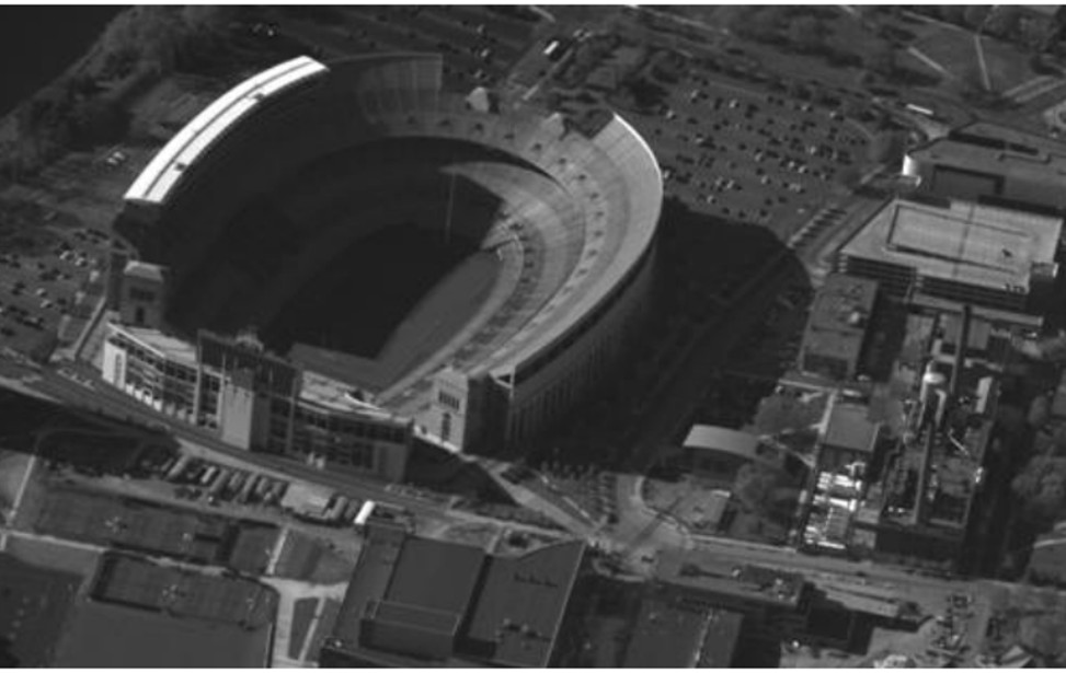
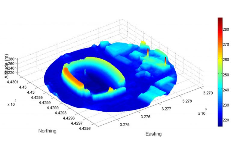
Toyon’s wide area motion imagery (WAMI) geo-registration software is capable of sensor auto-calibration and automated high-resolution 3D reconstruction using passive 2D motion imagery. The software is also capable of automatically registering imagery using 3D techniques to mitigate parallax, including geo-registration via alignment with a 2D reference image or 3D LIDAR point cloud.
Additional uses of the reconstructed 3D models include near-optimal parallax mitigation in moving target detection, mission planning, battle damage assessment, accurate line-of-site checks in sensor resource management, and new visualization options for human operators and commanders.


2025 © Toyon Research Corporation All Rights Reserved. • Privacy Policy | Terms of Service | Privacy Center | Accessibility
We use cookies to give you the best online experience. By agreeing you accept the use of cookies in accordance with our privacy policy.
